

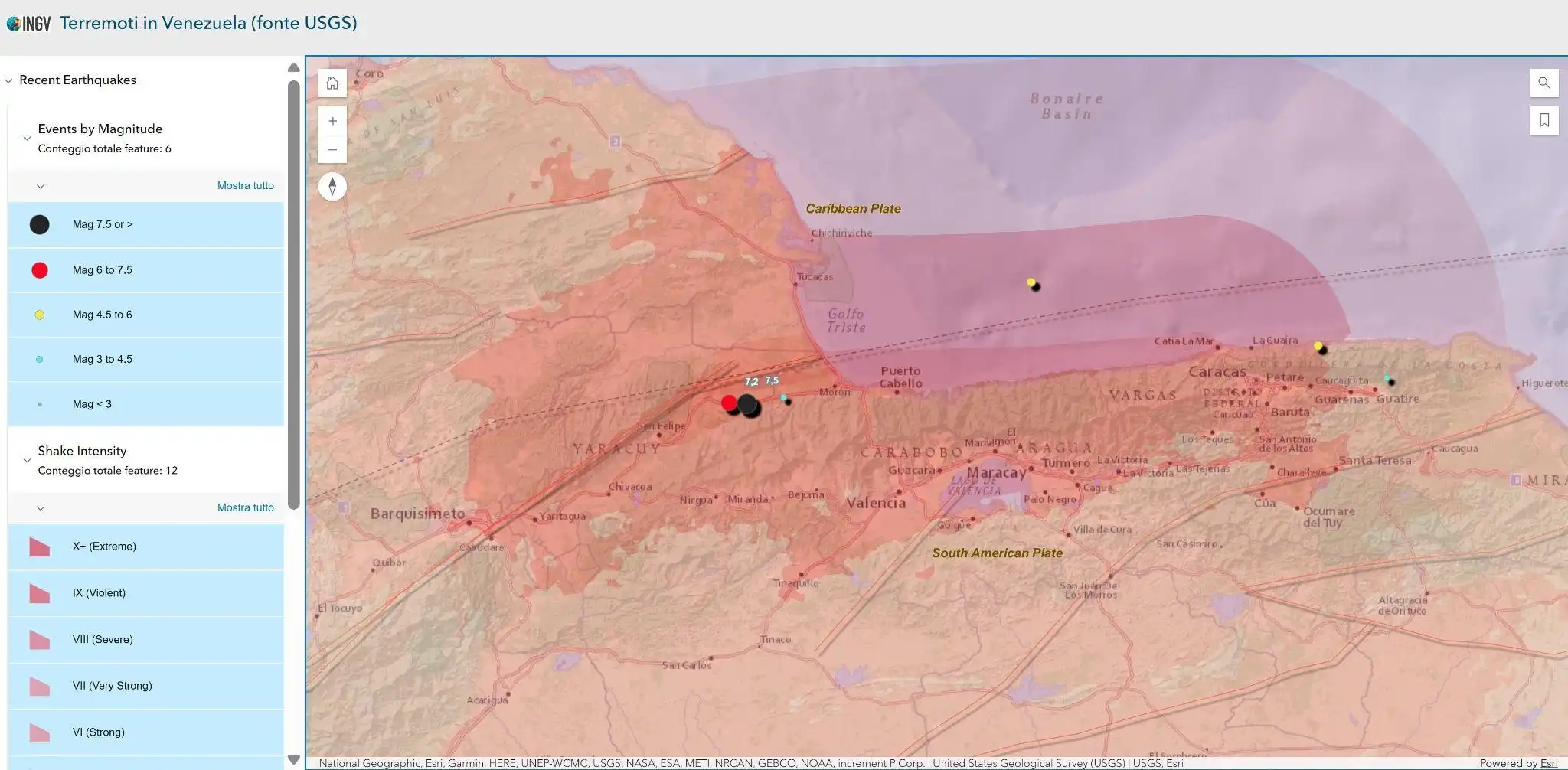
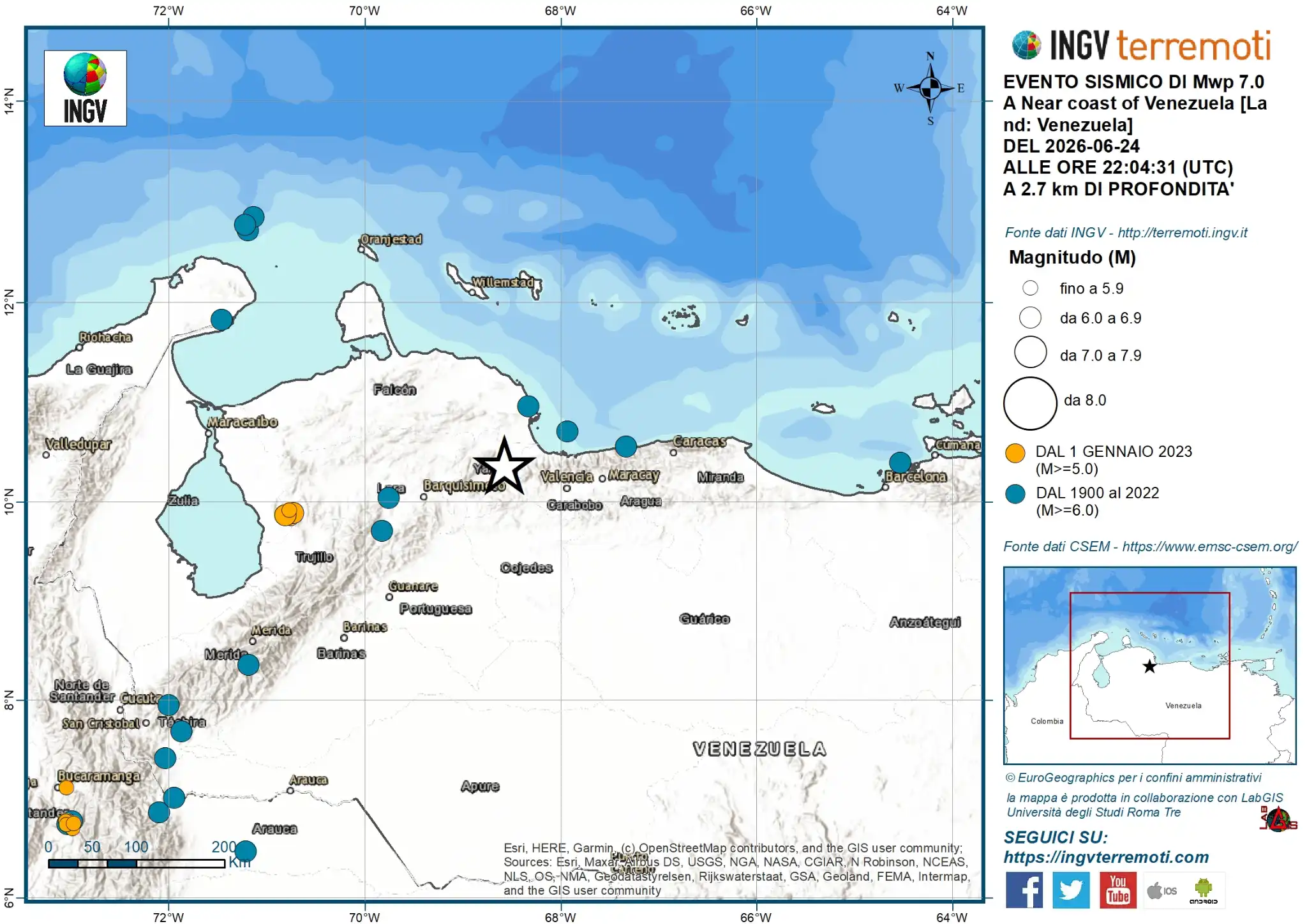
In night between June 24 and 25, 2026 the northern coast of Venezuela was hit by a seismic sequence, with two strong events, estimated by theUSGS respectively of magnitude 7.2 e 7.5, located in the Morón area and also felt disastrously in the region of the capital Caracas.
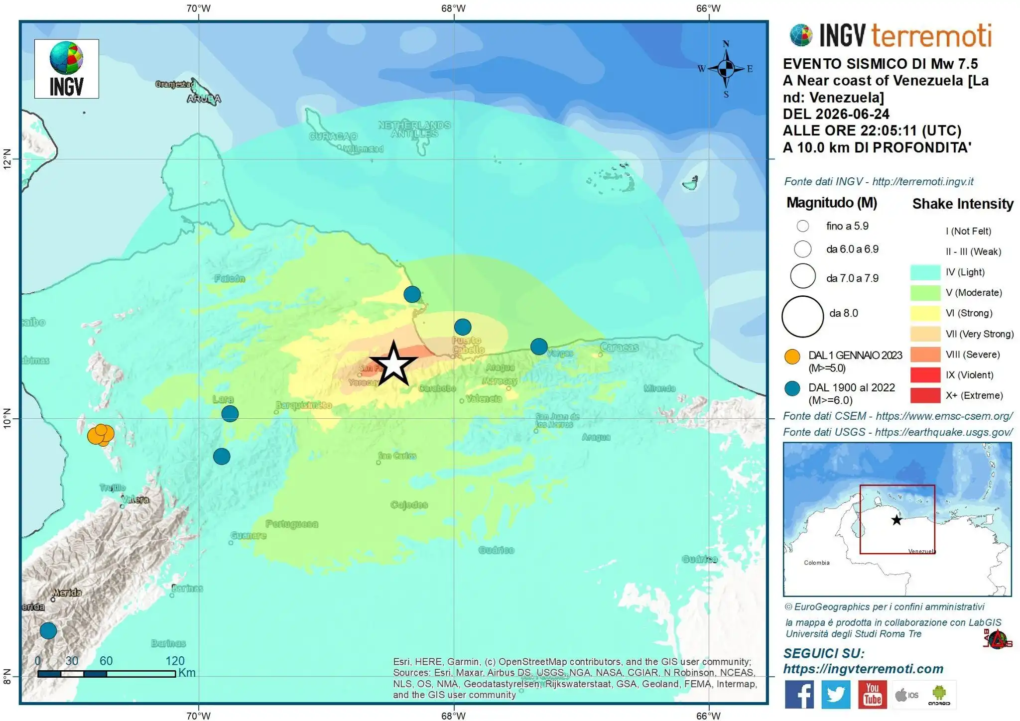
Northern Venezuela lies along the complex margin between the Caribbean plate (to the North) and the South American plate (to the South). The relative motion between the two has a significant component of right-hand sideThe main active faults that accommodate this movement are the system Boconó–San Sebastián–El Pilar and the system Goose–Ancón.
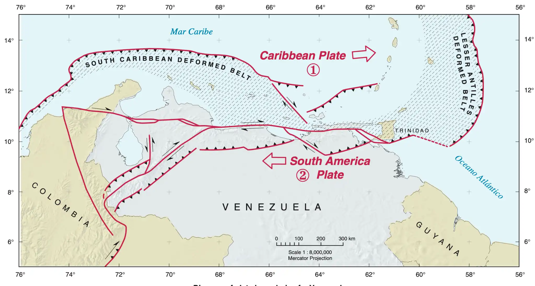
Map of plate boundaries in the Venezuelan region, from “Map of Quaternary Faults of Venezuela, Franck A. Audemard M. 2000, USGS report ofr-00-0018"
WEBGIS TO FOLLOW THE PROGRESS OF THE SEQUENCE
ARTICLES PUBLISHED ON INGVterremoti.com
https://ingvterremoti.com/category/terremoti_mondo/terremoti-in-venezuela-2026
Smartphones and early warnings in Venezuela: truth or myth?

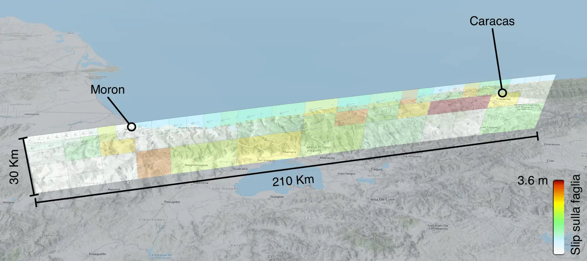
Extended source of the earthquake sequence in Venezuela, June 24, 2026
Seismic events Mw 7.0 and 7.5, state of Yaracuy (Venezuela), June 24, 2026
LINK FOR FURTHER INFORMATION
USGS
https://earthquake.usgs.gov/earthquakes/eventpage/us6000t7zp/executive